 |
Alpine
is a small mountain town set at the 8,050-foot level in Arizona's White Mountains, just six miles from the New Mexico border. It is situated at the junction of U.S. Highways 191 and 180 and is 110 miles south of Interstate 40. Ponderosa Pine, aspen and fir trees dominate the landscape of this beautiful four-season outdoor recreational area. Originally settled in the late 1870s and called Bush Valley, the "Swiss-like" setting of Alpine gives it a popular appeal to visitors. The two million-acre Apache-Sitgreaves National Forest, which is near the headwaters of the San Francisco River, surrounds the community. Six mountain lakes and over 100 miles of trout streams are within 20 miles of Alpine. Camping is popular, along with fishing, hunting, hiking, horseback riding, birding and wildlife viewing. Rock hunters also come to the area to search for fire agate, quartz crystals and Luna agate. Just 12 miles from the town of Alpine is the Escudilla Wilderness area, which contains 5,200 acres atop Arizona's third highest peak, Escudilla Mountain. Large stands of aspen trees make the Escudilla Wilderness a stunning place to visit in the fall. A herbarium located at the Forest Service Ranger Station in Alpine helps visitors identify hundreds of wildflowers, which bloom in the region in the spring and summer. The town of Alpine also hosts several special events during the year, including dog-sled races in January, a rodeo, parade and dance in June, and weekly van tours and camping programs during the summer.

|
Alpine Vacation Rentals
|

|
|
|

|
Alpine Hotels and Resorts
|

|
|
| | | Hotels & Motels |
| Best Western Sunrise Inn | 128 North Main | Eagar, AZ | 21.1 mi. | (928) 333-2540 | | Rode Inn Motel | | Reserve, NM | 24.1 mi. | (505) 533-6496 |

|
Alpine Weather & Climate
|

|
|
|
The northeastern corner of Arizona has a humid continental climate, due to its' very high altitude. Elevations in this region of the White Mountains reaches 8,000 to 10,000 feet. Arizona generally has a dry climate with little rainfall. The northeastern corner experiences more frequent thunderstorms due to the North American Monsoon. The temperatures here are usually comfortable during the day, and often sunny, but be warned that the sun is very intense in the mountains. Nightly frosts are possible, even in summer, and are an almost daily occurrence from October to May. Snow at the highest elevations can be as much as 100 inches, but is rare in the southern and western lowlands of the state. The plateau region of the northeastern corner of the state receives approximately ten inches of precipitation annually.
|
| Month |
High Temp |
Low Temp |
Rainfall |
Ocean Temp |
| January |
44°F |
13°F |
1.35 in. |
- |
| February |
47°F |
16°F |
1.29 in. |
- |
| March |
52°F |
20°F |
1.30 in. |
- |
| April |
59°F |
24°F |
0.63 in. |
- |
| May |
67°F |
29°F |
0.75 in. |
- |
| June |
77°F |
36°F |
0.86 in. |
- |
| July |
78°F |
44°F |
3.43 in. |
- |
| August |
75°F |
43°F |
4.47 in. |
- |
| September |
71°F |
37°F |
2.41 in. |
- |
| October |
62°F |
27°F |
2.38 in. |
- |
| November |
52°F |
19°F |
1.44 in. |
- |
| December |
46°F |
14°F |
1.35 in. |
- |

|
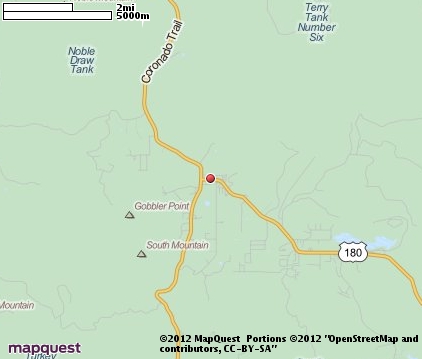
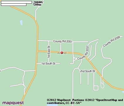
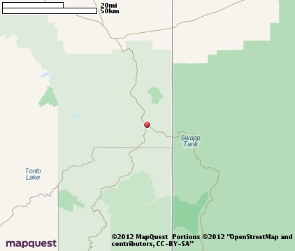
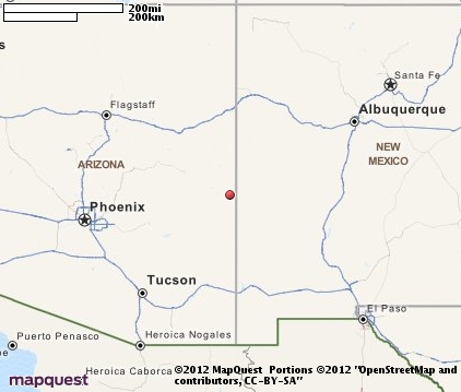
Alpine Map & Transportation
|

|
|
 |
|
|
| Click each thumbnail image to enlarge. |
 |
 |
 |
 |
The closest airports in the area are the Town Of Springerville Municipal airport (D68) located about 22 miles northwest of Alpine in Springerville, Arizona, the Whiteriver airport (E24) located approximately 48 miles west of Alpine in Whiteriver, Arizona, the Show Low Regional airport (SOW) located roughly 57 miles northwest of Alpine in Show Low, Arizona, the Taylor airport (TYL) located around 69 miles northwest of Alpine in Taylor, Arizona, and finally the Safford Regional airport (SAD) located about 74 miles southwest of Alpine in Safford, Arizona.
|

|
Alpine Attractions
|

|
|
Notice a problem with the information on this page? Please notify us.
|
Disclaimer: We recommend you conduct your own research regarding all accomodations and attractions found on this website. The distances shown on this website are straight-line distances as the crow flies. The road distance may be considerably longer. You assume all liability for use of any information found on this website. No information is confirmed or warranted in any way. By using our services you agree to the terms and conditions of this disclaimer.
|
| We are the #1 site for your Arizona Vacation presenting Arizona vacation rentals, hotels, weather and map for each city. |
Arizona Vacation .org
©1997-2025 All Rights Reserved.
|
|