 |
Pinal-Mountain
Recreation Area is located in the Tonto National Forest of east central Arizona, near the small mining towns of Globe and Miami. Both towns are located in a steep canyon at the 3,500-foot elevation level in southern Gila County. Highway 60 connects the two towns. Pinal Mountain is a secluded mountain oasis in contrast to the hot, harsh desert that surrounds it. You'll find lots of ponderosa pines, junipers, scrub oak and mountain mahogany, numerous springs and plentiful wildlife in the Pinal Mountain Recreation Area. Hiking and camping are available and high temperatures are usually in the 80s versus the 100s found in the deserts below. The small communities of Globe and Miami offer historic downtown areas with dining and shopping opportunities, including 26 antiques and art shops. Both towns are known for their special events and great Mexican food. Other places of interest near Pinal Mountain include the Gila County Historical Museum, which houses many collections of Indian artifacts dating back to 1125 AD., and the historic Gila County Jail, open to the public Monday through Friday, noon to 5:00 p.m. The Besh-ba-Gowah Archeological Park is a 700-year-old pueblo, east of downtown Globe, which is open to the public and contains pottery, utensils and furnishings of pre-Columbian times.

|
Pinal Mountain Vacation Rentals
|

|
|
|

|
Pinal Mountain Hotels and Resorts
|

|
|
| | | Hotels & Motels |
| Travelodge | 2119 W Hwy 60 | Globe, AZ | 8.0 mi. | (928) 425-7008 | | Comfort Inn | 1515 South St | Globe, AZ | 8.1 mi. | (928) 425-7575 | | Super 8 Motel | 637 E Ash St | Globe, AZ | 8.2 mi. | (928) 425-7124 | | Cloud Nine Motels | 1699 E Ash | Globe, AZ | 8.3 mi. | (928) 425-5741 | | Days Inn | 1630 E Ash St | Globe, AZ | 8.3 mi. | (928) 425-5500 | | Copper Hills Inn | US Hwy 60 Rt 1 Box 506 | Miami, AZ | 8.5 mi. | (928) 425-7151 |

|
Pinal Mountain Weather & Climate
|

|
|
|
East-central Arizona has a semi-arid climate with hot summers and moderate winters. The arid climate is somewhat tempered by the elevation in the area, making it slightly cooler than the Phoenix and Yuma regions. Nonetheless, summers are hot; daytime highs are generally between 90 and 100 degrees F. Temperatures above 100 in July and August are not uncommon. In winter, east-central Arizona sees daytime highs between 55 and 65 degrees F. and nighttime lows at, or just above, freezing. Rainfall is possible anytime of the year, but most common during the Monsoon of July and August. Snowfall is rare in this part of Arizona. Snow of an accumulation of 0.1 inches or greater has occurred in central Arizona only eight times since 1898.
|
| Month |
High Temp |
Low Temp |
Rainfall |
Ocean Temp |
| January |
55°F |
31°F |
1.76 in. |
- |
| February |
60°F |
33°F |
1.74 in. |
- |
| March |
66°F |
38°F |
1.78 in. |
- |
| April |
74°F |
42°F |
0.53 in. |
- |
| May |
83°F |
50°F |
0.35 in. |
- |
| June |
93°F |
59°F |
0.29 in. |
- |
| July |
96°F |
66°F |
2.07 in. |
- |
| August |
93°F |
65°F |
2.64 in. |
- |
| September |
88°F |
58°F |
1.32 in. |
- |
| October |
77°F |
48°F |
1.64 in. |
- |
| November |
64°F |
37°F |
1.34 in. |
- |
| December |
56°F |
30°F |
1.54 in. |
- |

|
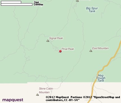
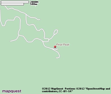
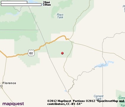
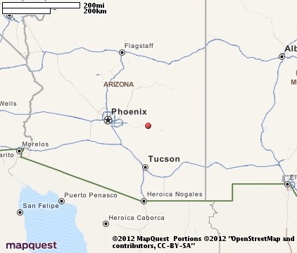
Pinal Mountain Map & Transportation
|

|
|
 |
|
|
| Click each thumbnail image to enlarge. |
 |
 |
 |
 |
The closest airports in the area are the San Carlos airport (4AZ7) located about 21 miles east of Pinal Mountain in San Carlos, Arizona, the Williams Gateway airport (IWA) located approximately 48 miles west of Pinal Mountain in Phoenix, Arizona, the Scottsdale airport (SDL) located roughly 67 miles northwest of Pinal Mountain in Scottsdale, Arizona, and finally the Phoenix Sky Harbor International airport (PHX) located around 69 miles west of Pinal Mountain in Phoenix, Arizona.
|

|
Pinal Mountain Attractions
|

|
|
| | | Amusement and Theme Parks |
| Schnepf Farms | Queen Creek | AZ | 44.6 mi. | | | Castles n' Coasters | Phoenix | AZ | 78.0 mi. | | | Enchanted Island | Phoenix | AZ | 78.0 mi. | |
Notice a problem with the information on this page? Please notify us.
|
Disclaimer: We recommend you conduct your own research regarding all accomodations and attractions found on this website. The distances shown on this website are straight-line distances as the crow flies. The road distance may be considerably longer. You assume all liability for use of any information found on this website. No information is confirmed or warranted in any way. By using our services you agree to the terms and conditions of this disclaimer.
|
| We are the #1 site for your Arizona Vacation presenting Arizona vacation rentals, hotels, weather and map for each city. |
Arizona Vacation .org
©1997-2025 All Rights Reserved.
|
|